|
| *****SWAAG_ID***** | 128 |
| Date Entered | 18/02/2011 |
| Updated on | 17/06/2017 |
| Recorded by | Tim Laurie |
| Category | Burnt Mound |
| Record Type | Archaeology |
| Site Access | Army Range |
| Record Date | 29/12/2008 |
| Location | Bellerby CP. Bellerby Moor Ranges.Whipperdale Bank. |
| Civil Parish | Not known |
| Brit. National Grid | SE 08405 93377 |
| Altitude | 310m |
| Geology | Calcareous tufa-forming spring line below Main Limestone. |
| Record Name | Bellerby Moor Ranges.Whipperdale Bank. Burnt mound Site 1. (1 of 6 burnt mounds in this vicinity). |
| Record Description | Medium sized crescentic burnt mound 7m*5m*.5m high located at doline like depression with calcareous, tufa forming springs. Much visible burnt stone.
See �Introduction to Burnt Mounds� for the general characteristics, distribution, chronology and context of burnt mounds.
This is the larger of three burnt mounds at this spring line. |
| Dimensions | 7m*5m*.5m high |
| Additional Notes | 1 of 6 burnt mounds in this general vicinity, two of which are close by.
This area of Bellerby Ranges is of high archaeological and geomorphological interest being on the spring line of oncolite rich calcareous, tufa forming springs. This group of six burnt mounds should be discussed in context with the general distribution of the ninety or so burnt mounds recognised at high level springs around Wensleydale. See Laurie 1003,2004.
The roads to the Preston Moor Lead and Coal mines pass across Whipperdale Bank, these are visible as a wide swath of braided trackways, visible as hollow ways on rising ground. |
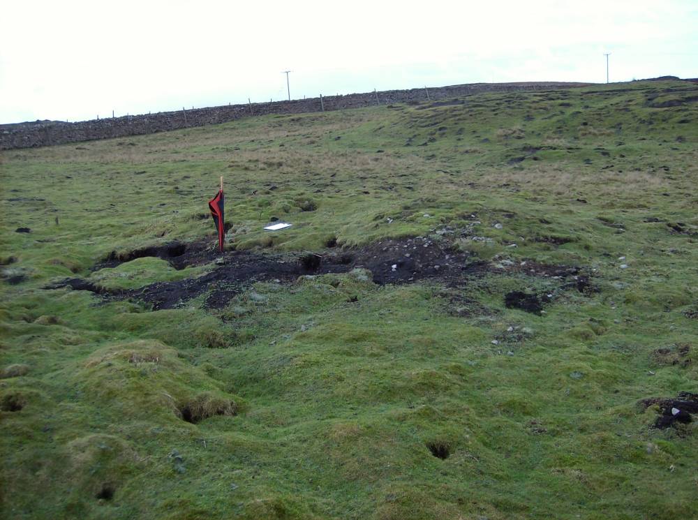
| Image 1 ID | 294 Click image to enlarge |
| Image 1 Description | Burnt mound at Whipperdale Bank on the Bellerby Army Range. |  |
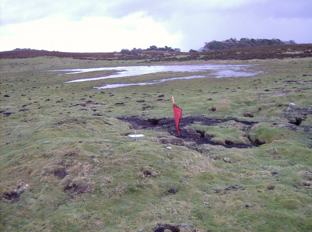
| Image 2 ID | 295 Click image to enlarge |
| Image 2 Description | Burnt mound at Whipperdale Bank on the Bellerby Army Range. Note floodwater marking the doline like depression in mid picture. |  |
| Image 3 ID | 296 Click image to enlarge |
| Image 3 Description | Oncolite rich stream below springs on Bellerby Moor Army Ranges. |  |